|
Historic Packing Houses and Other Industrial Structures in Southern California Hemet, CA All photos by Marty Quaas Copyright 2009, 2011 by James E. Lancaster, Ph.D. Notice: The photographs on this web page are the property of the contributor and may not be used for any purpose without permission. These photos of Hemet were taken in July 1964 by Marty Quaas. In photos 1 and 2 the view is south-southwest and in photos 3-8 the view is north or northeast. The photo locations were determined by referring to 1933 Sanborn Fire Insurance maps and Google Maps. The Google Maps Street View was particularly helpful. The diagram below shows Hemet track numbers and is from a 1985 Santa Fe CLIC book. Highgrove and San Bernardino are to the left and San Jacinto to the right.
In the photo captions that follow, references to building names from the 1933 Sanborn maps are noted as (S) and references to track numbers from the 1985 CLIC diagram are noted as (C).
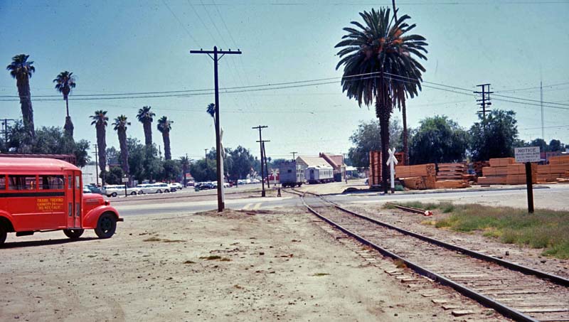
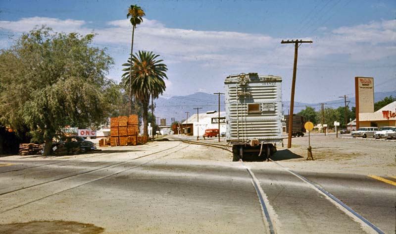 Photo 3. Looking northeast across North State St toward East Latham Ave, Albers Feeds and the red bus. Michael's Market is at the far right. The cars are parked on Front St. The
MoW box car is sitting on the switch between track #3187 and #3188 (C).
The market building is currently visible in a Google Maps street view
from N. State St. Photo 3. Looking northeast across North State St toward East Latham Ave, Albers Feeds and the red bus. Michael's Market is at the far right. The cars are parked on Front St. The
MoW box car is sitting on the switch between track #3187 and #3188 (C).
The market building is currently visible in a Google Maps street view
from N. State St. Photo
4. Looking northeast toward East Latham Ave, Albers Feeds and the red
bus. The track at the right with the box car is #3188, also designated
the Hemet team track (C). The track at the far left next to the stacked
lumber is #3186 (C). In 1933 Albers Feeds was the Hemet Valley Milling
Co. (S)
Page created 1/18/09
Last updated 9/6/11 To tour other Riverside County cities, or other counties, return to the Virtual Tour of Riverside County Page. Return to the Historic Packing Houses and Other Industrial Structures in Southern California Home Page. |